Tracks and Stats
- Starting point: Oconee State Park
- End point: Bad Creek Access (35.012432, -81.999258)
- Total FHT miles: 31.4
- Total miles: 36.9
- Campsites used:
- Trailside campsite at mile 6.5
- Burrell’s Ford at mile 15.5
- East Fork at mile 23.3
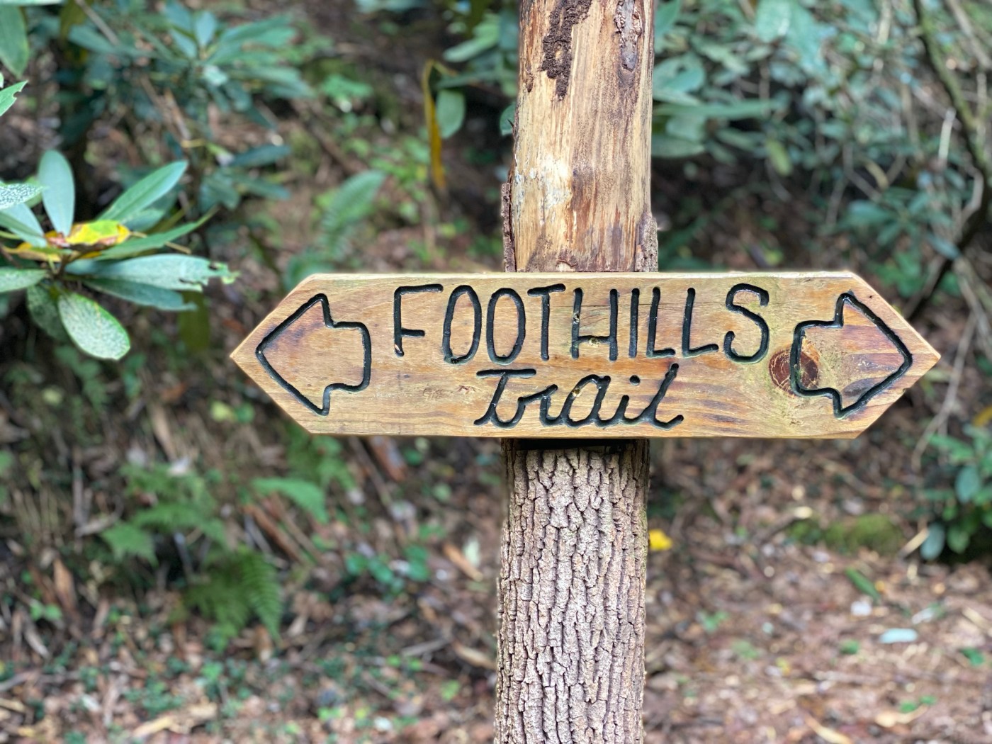
- Side trails taken: Pigpen and Licklog Falls (base and top), Big Bend Falls, Chattooga Trail into Burrell’s Ford, Kings Creek Falls Trail, Chattooga Trail to Spoonauger Falls w/loop back to FHT, Whitewater Falls Lower Observation Deck, spur trail to Bad Creek Access
- Waterfalls seen:
- Harvey Falls (34.91706, -83.11888)
- Pigpen Falls (34.92847, -83.12908)
- Licklog Falls (base: 34.93042, -83.13117) (top: 34.92974, -83.13078)
- Big Bend Falls (34.95343, -83.11902)
- King Creek Falls (34.96615, -83.11099)
- Spoonauger Falls (34.97472, -83.11018)
- Hiker’s Peril Falls (34.99741, -83.05464)
- Upper Sloan Bridge Falls (35.00045, -83.05616)
- Lower Sloan Bridge Falls (34.99945, -83.05543)
- Whitewater Falls (overlook: 35.03369, -83.01614)
- Corbin Creek Falls (view from bridge: 35.03360, -83.01271)
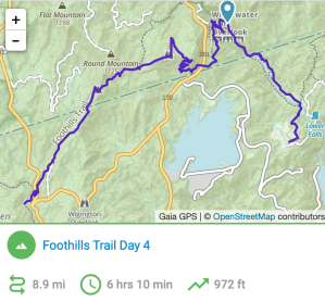
Tap each of the following images for GPS tracks of each day of this hike:


Leave a comment