
<< Previous post: Getting to Colorado
After three days of driving, Levon and I were in the mood for a pretty chill first day in Colorado. I had a few spots pinned in Gaia that I wanted to check out, and Matthew wanted to show us some of the mountain passes and the trailhead for the Colorado Trail that crosses just north of where he lives. After breakfast burritos at Matthew’s cabin, we headed out.
Disclaimer: this post may contain affiliate links.
August 13, 2023
Lime Creek Rd and Adrenaline Falls
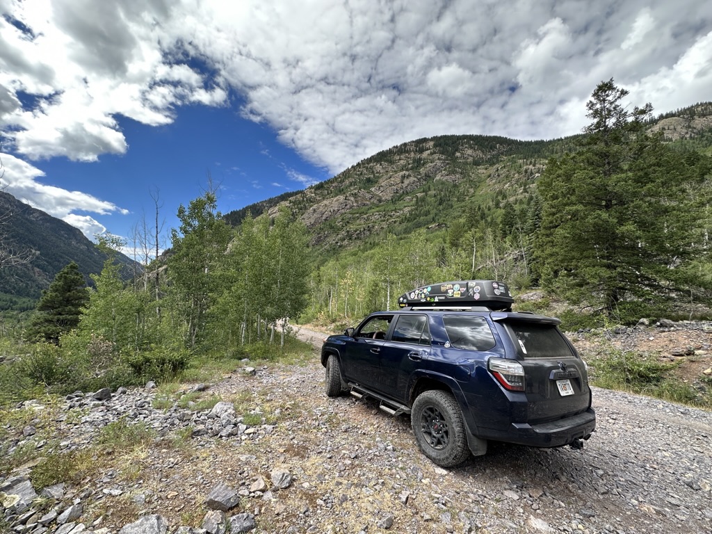
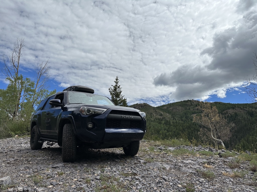
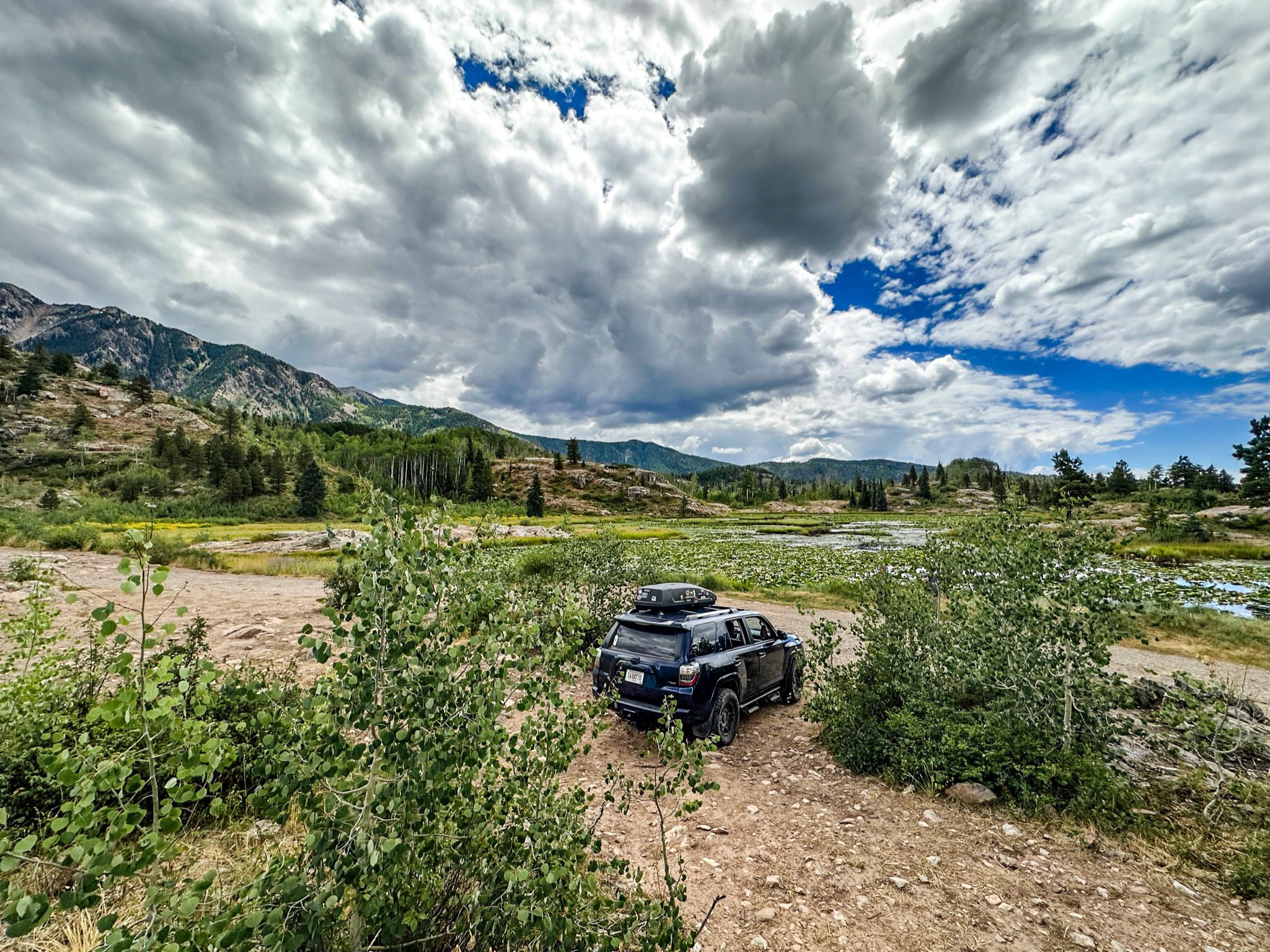
We left the cabin and drove a few miles north on Hwy 550 before turning onto Lime Creek Rd. This road quickly becomes rough, rutted, and rocky. I was thankful for the new tires I had installed before leaving NC and for the high clearance of my 4Runner as we slowly rocked and bumped along. Lime Creek Rd is absolutely mesmerizing in its beauty, and we stopped several times along the road for photo ops. Finally we came to a sharp bend in the road where a faint path meandered steeply downhill. “This is the place,” Matthew said after getting out to inspect the route. This is where we would stop and begin the short but very steep hike down to Adrenaline Falls.
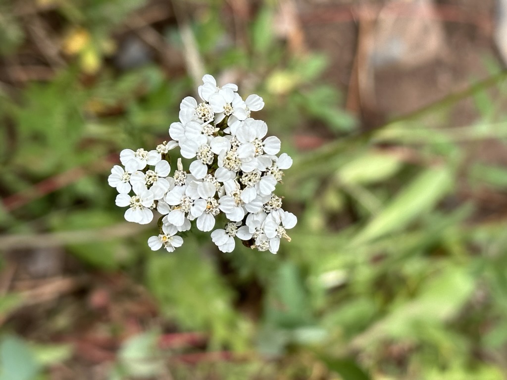
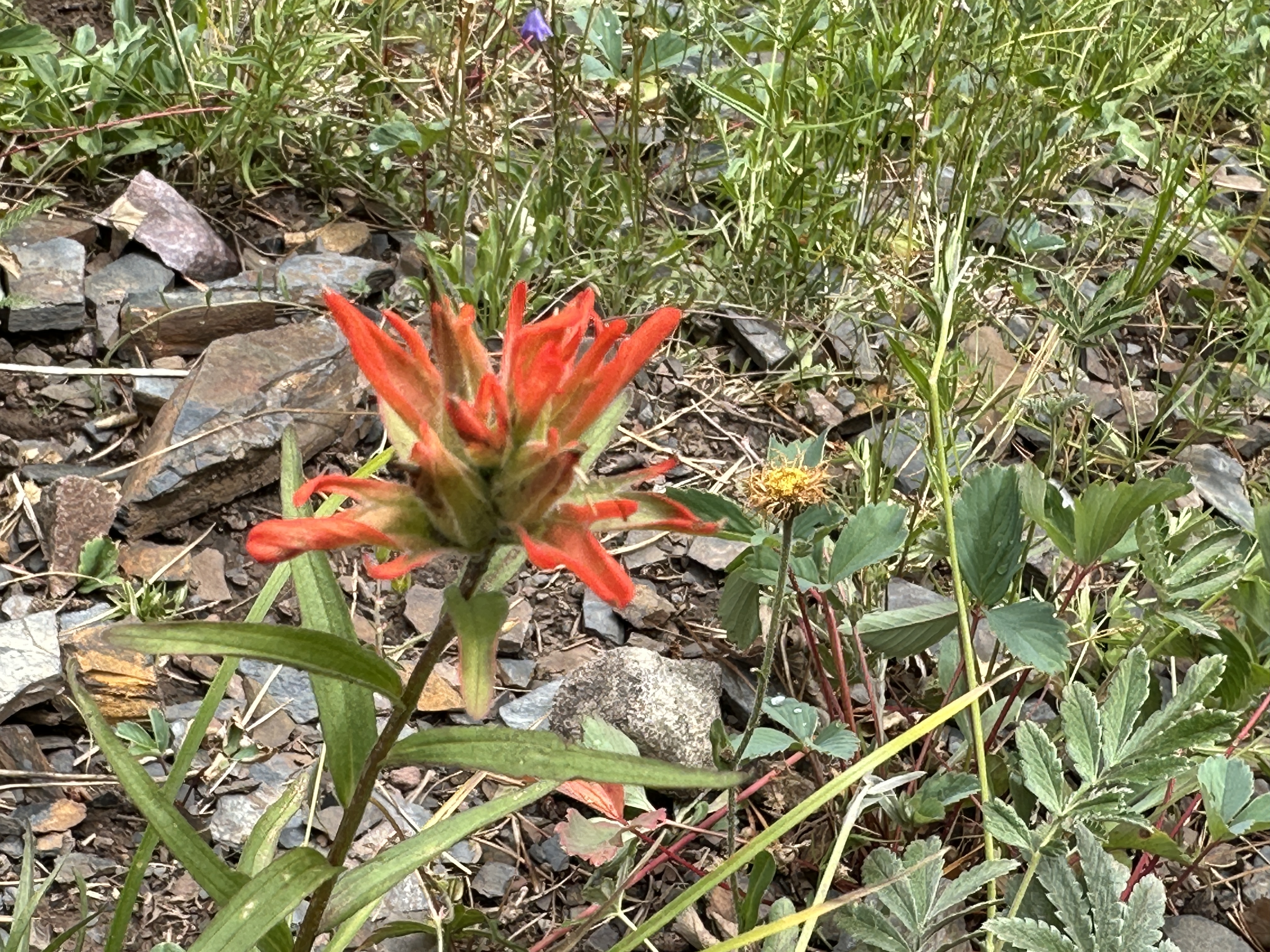

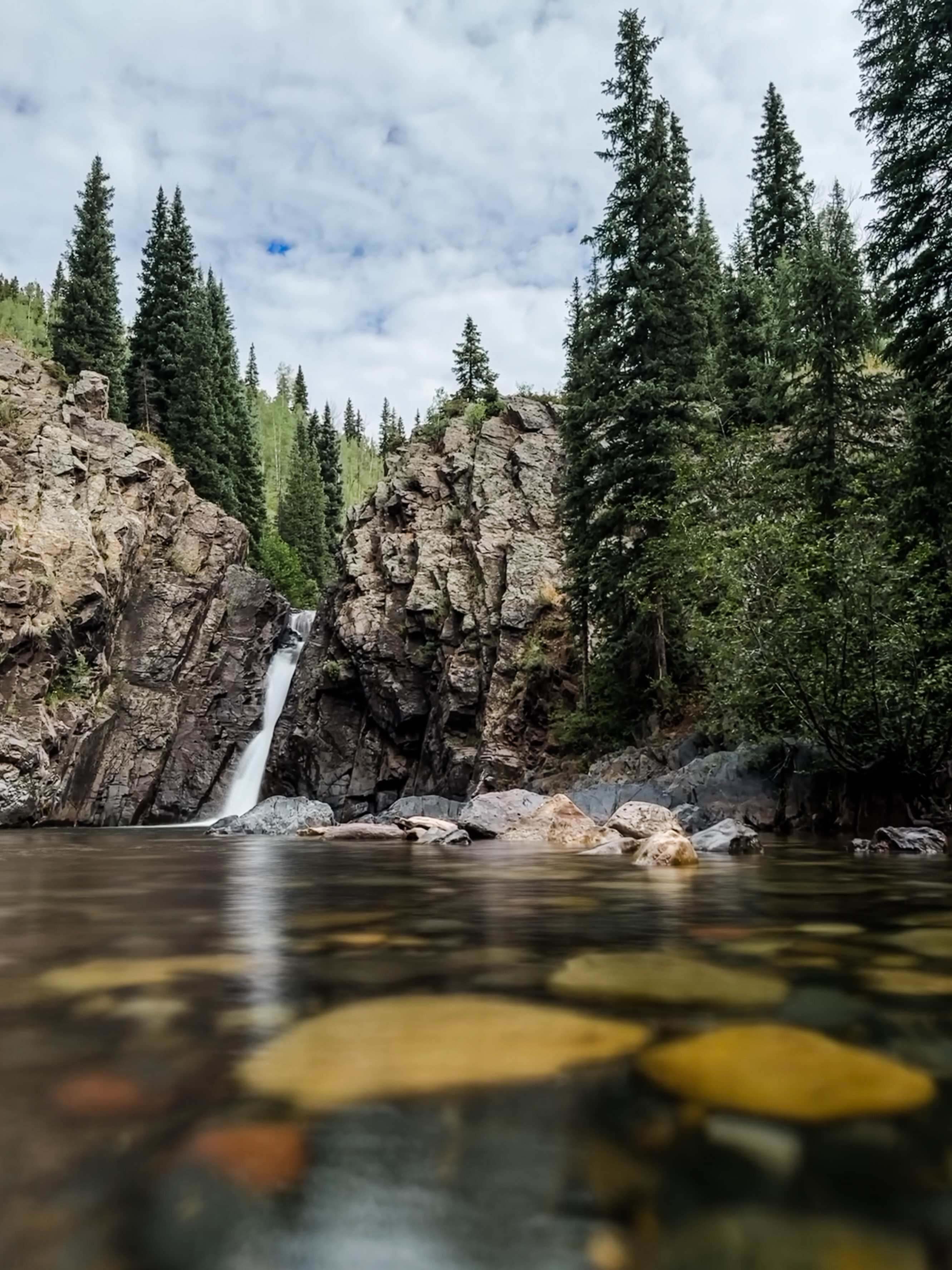
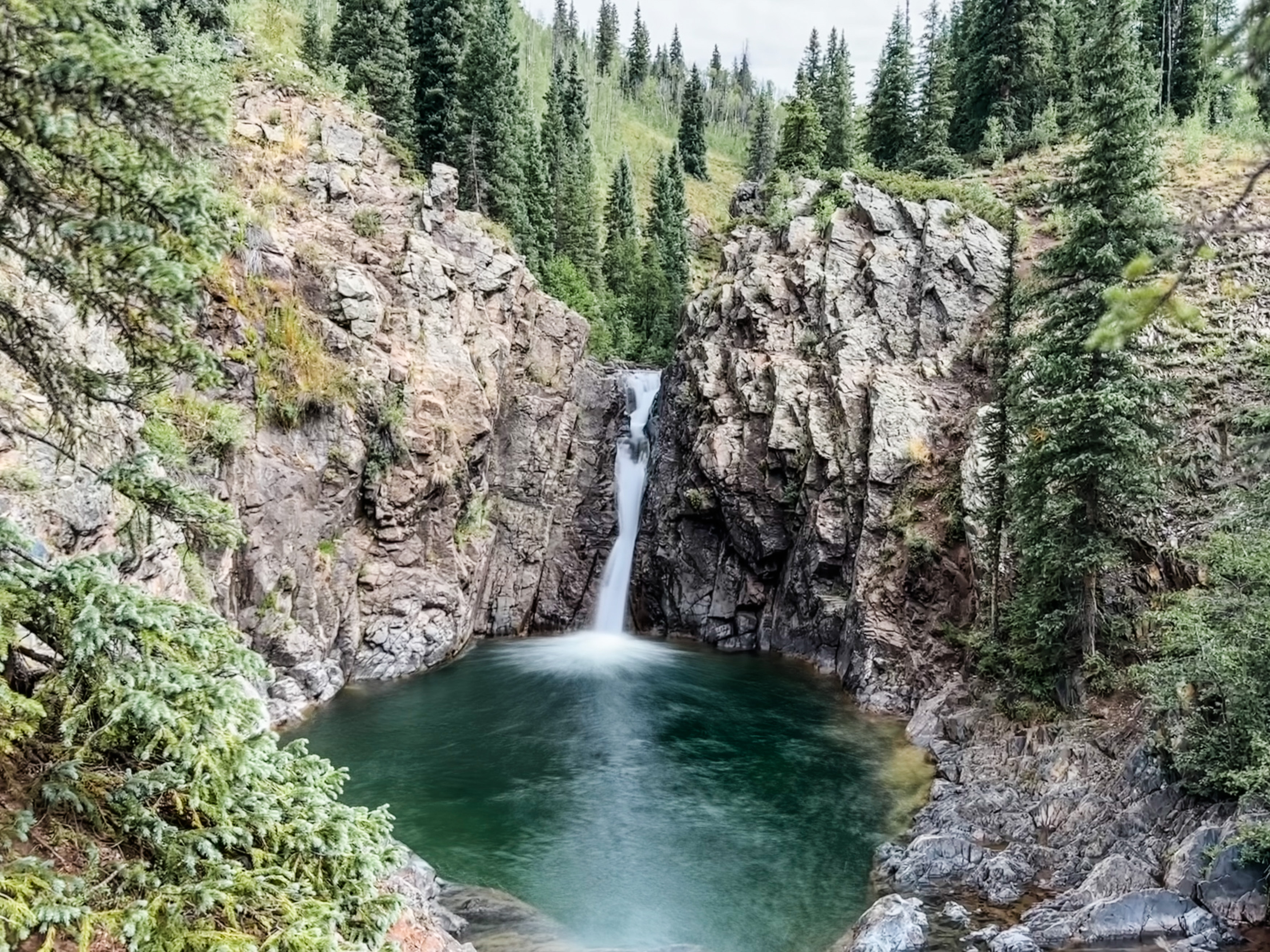
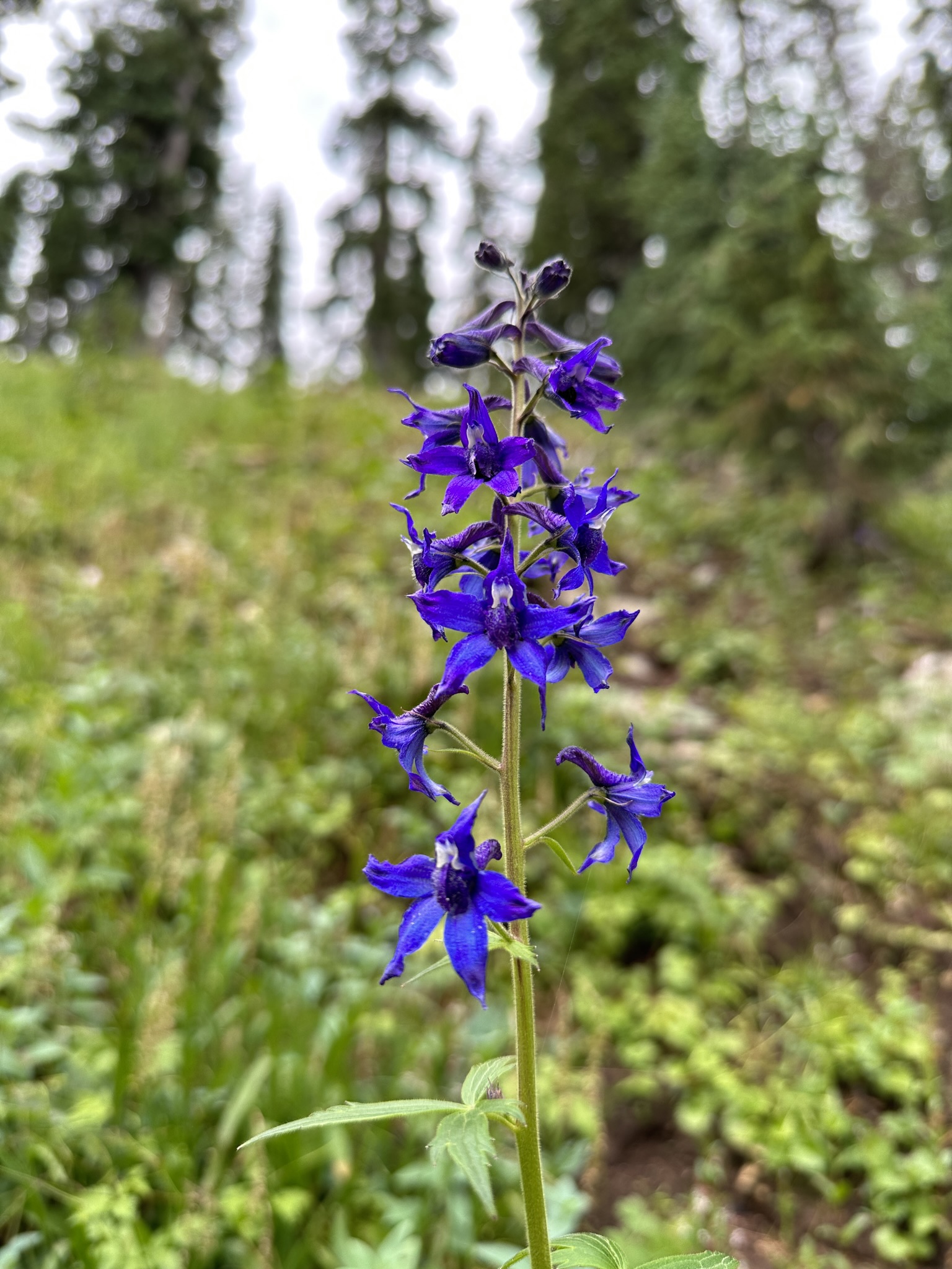
The hike down to river level is extremely steep, but easy to follow and not very long. We carefully pick our way down the slope, stopping to admire some late summer wildflowers and breathe in the fresh pine-scented air. For the second time in as many days I neglected to bring a swimsuit. Upon arriving at the spectacular Adrenaline Falls, which bursts through a narrow ravine between two cliffs into a brilliant blue-green plunge pool, I had to decide if getting my hiking clothes soaked again was worth it. I decided it was.
Field note: always bring a swimsuit and pack towel when hiking to waterfalls in the summer! My favorite pack towel is this one from DryFoxCo.

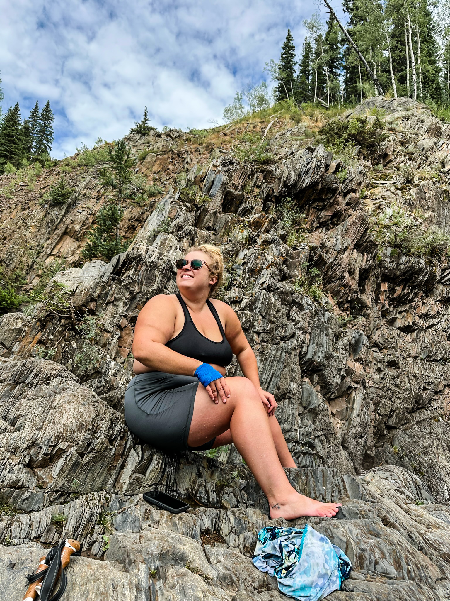
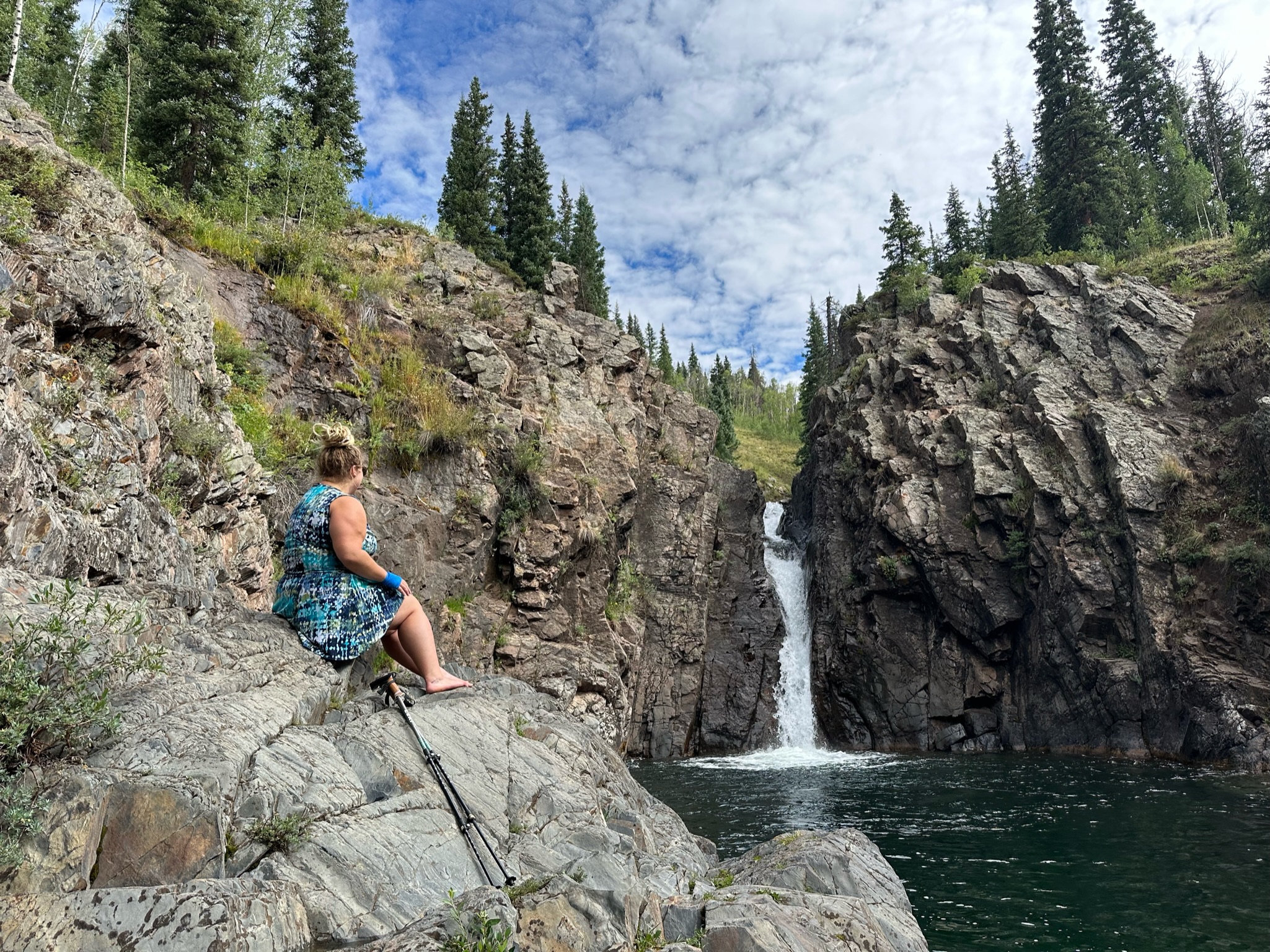
The water was absolutely frigid. My breath caught in my throat as I slowly eased first my legs, then my hips, then my belly, and finally my chest and arms into the shimmering water. Fully submerged, I forced a breath and pushed off the rocks and out into the middle of the pool. My skin felt as though millions of tiny needles were pricking me all at once and I suddenly understood how some hypothermia victims feel as though they are “burning” when they are really freezing. After a few minutes in the water, the stinging sensation eased up and my breathing became less ragged and more even. My brain was adjusting to the temperature of the water, but my body wasn’t having any of it. I wasn’t able to stay in the water much longer due to my muscles beginning to spasm. I became concerned that I would lose my ability to swim if I got much colder and decided to head for the rocky bank and haul my shivering but invigorated body out of the water.

I sat in the sun and dried off as another family of several people and a Labrador debated whether or not they would also go for a swim. Everyone except the Lab decided against it. Once I’d dried off we began the steep ascent back to the car, where we would continue on Lime Creek Road to a small pond. We pass the trailhead to Spud Lake and I make a mental note to return someday and make that hike. Today is not the day, however, as a storm cloud is rolling in. We stop for a few more photo ops and then make the drive back to Matthew’s cabin, where afternoon naps are in order. I feel a little guilty because we didn’t do much today, but Levon and I are truly exhausted from the long drive, and Matthew is equally wiped out from several long shifts at work, so a relaxed evening is just what we all needed.
Field note: there is a large, easily accessible free dispersed camping area at the southern end of Lime Creek Rd that would be appropriate for larger rigs. GPS coordinates for this spot are: 37.65458, -107.80252


| HIKE DETAILS | Adrenaline Falls |
|---|---|
| Trailhead coordinates: | 37.70315, -107.75385 4×4 / high clearance required to reach TH |
| Hike length: | 0.44 mi |
| Ascent: | 278ft |
| Total Hike Time: | 1h 22min (including swim time) |
| Surface: | unmaintained trail |
| Tink’s difficulty rating: | Moderate — due to steepness & ruggedness |
Pass Trail/Coal Creek Trail to Engineer Mountain
While cooking dinner later that night we made a plan to rise early and attempt to summit Engineer Mountain, a nearly 13,000ft giant rising tall above Durango and Silverton. We needed to get an early start due to nasty weather being expected in the afternoon. It rained all afternoon our first day, and rain was in the forecast every single day for the rest of the week. At this altitude, that means thunder and lightening (and possibly hail) storms– none of which are fun at 13,000ft.

August 14, 2023
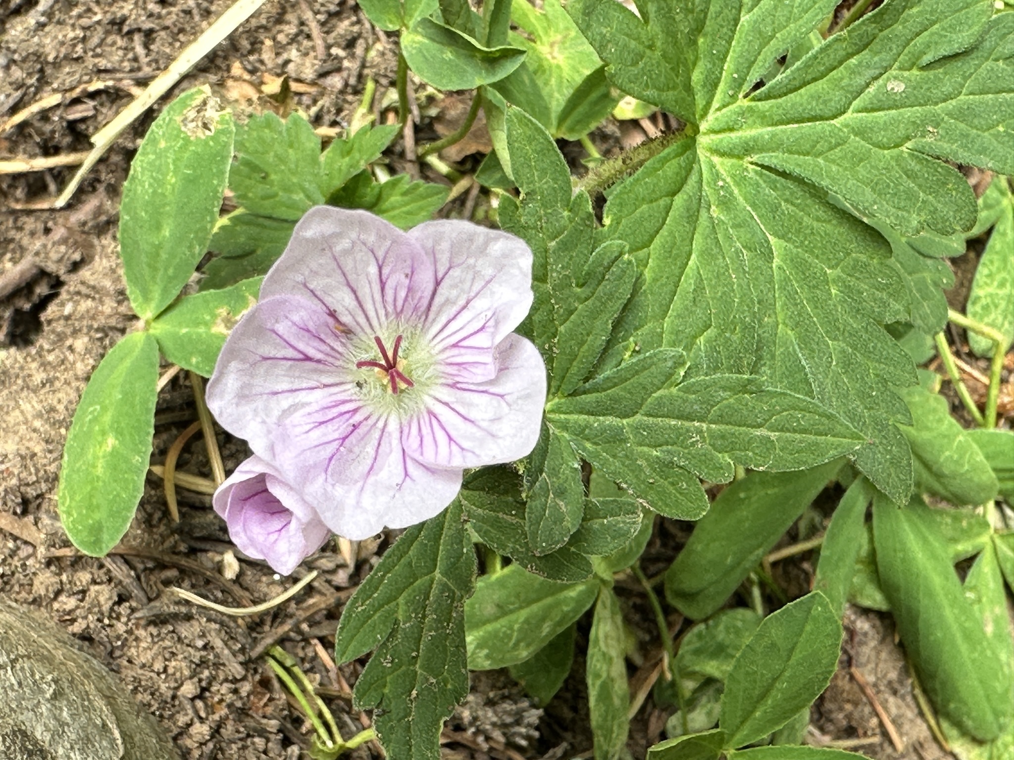
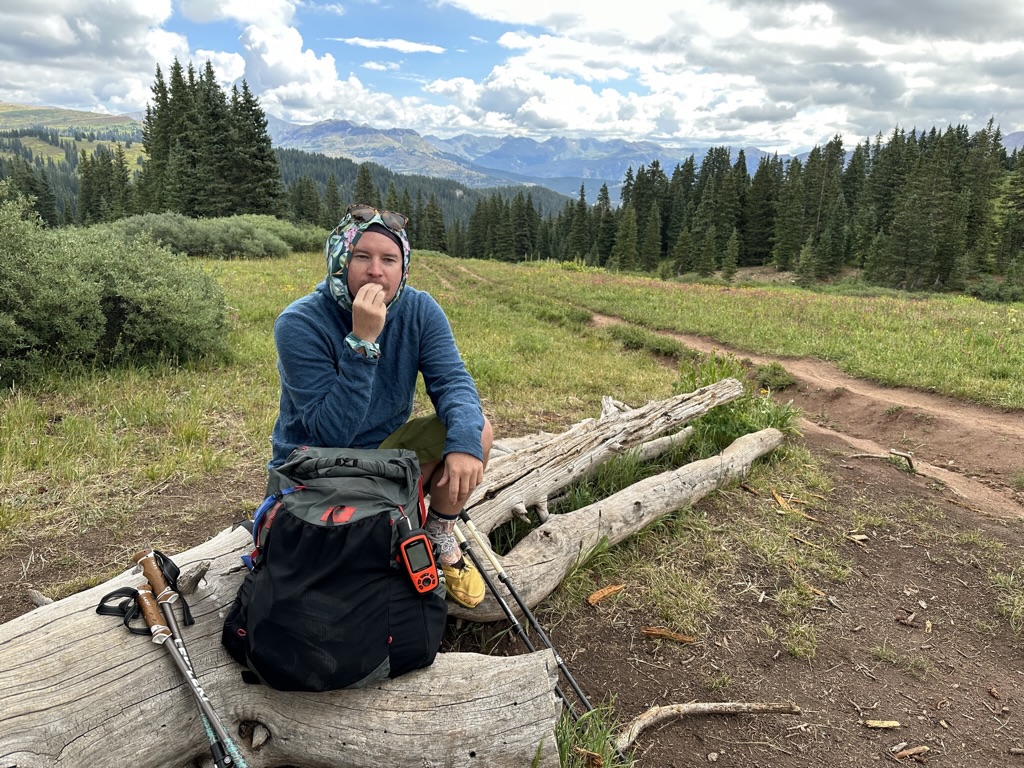
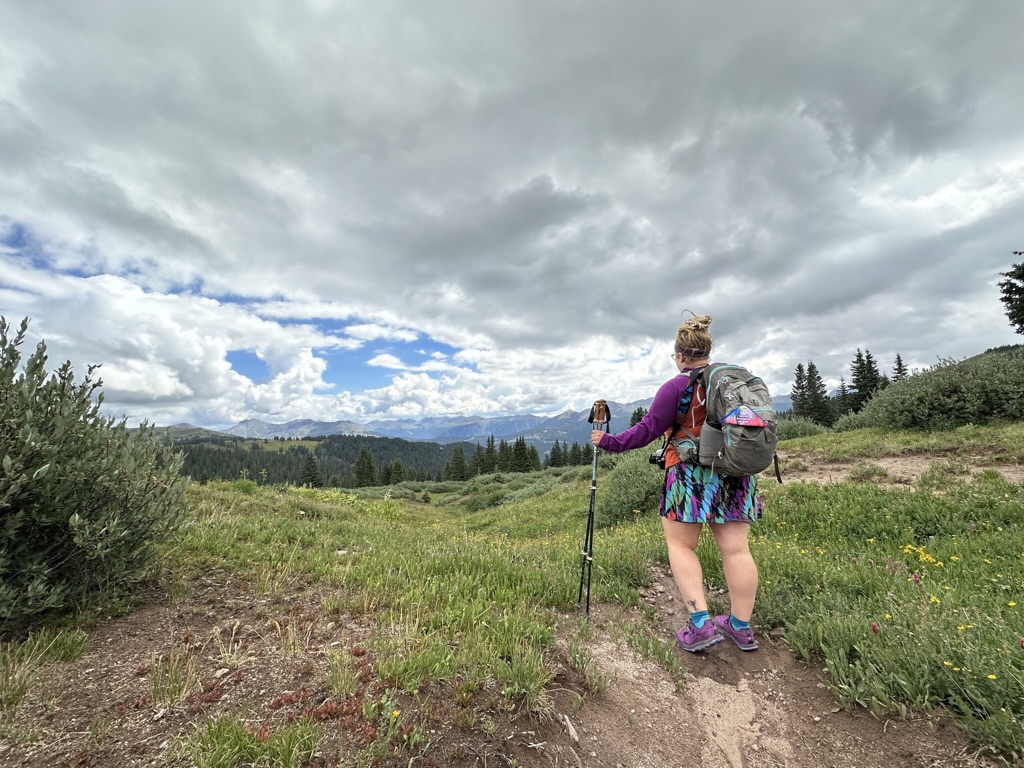
We awoke early and were hiking by 8am, after a short drive to the trailhead and staging a shuttle car. We saw two bighorn sheep on the way to the trailhead! Levon and I were both fascinated by the unbelievable amount of wildflowers along the forested trail. We climbed in elevation and I began to feel the familiar breathlessness as the air becomes thin. I called on my experience here, reminding myself that I’ve done this before and I know how to breathe at altitude.
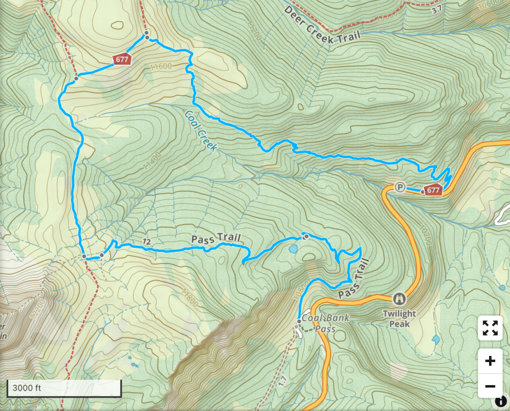
Field note: we staged two vehicles, one at each end of the hike, to avoid a long and potentially dangerous road walk on Hwy 550. I recommend doing the same if you choose to hike this trail as a loop the way we did.


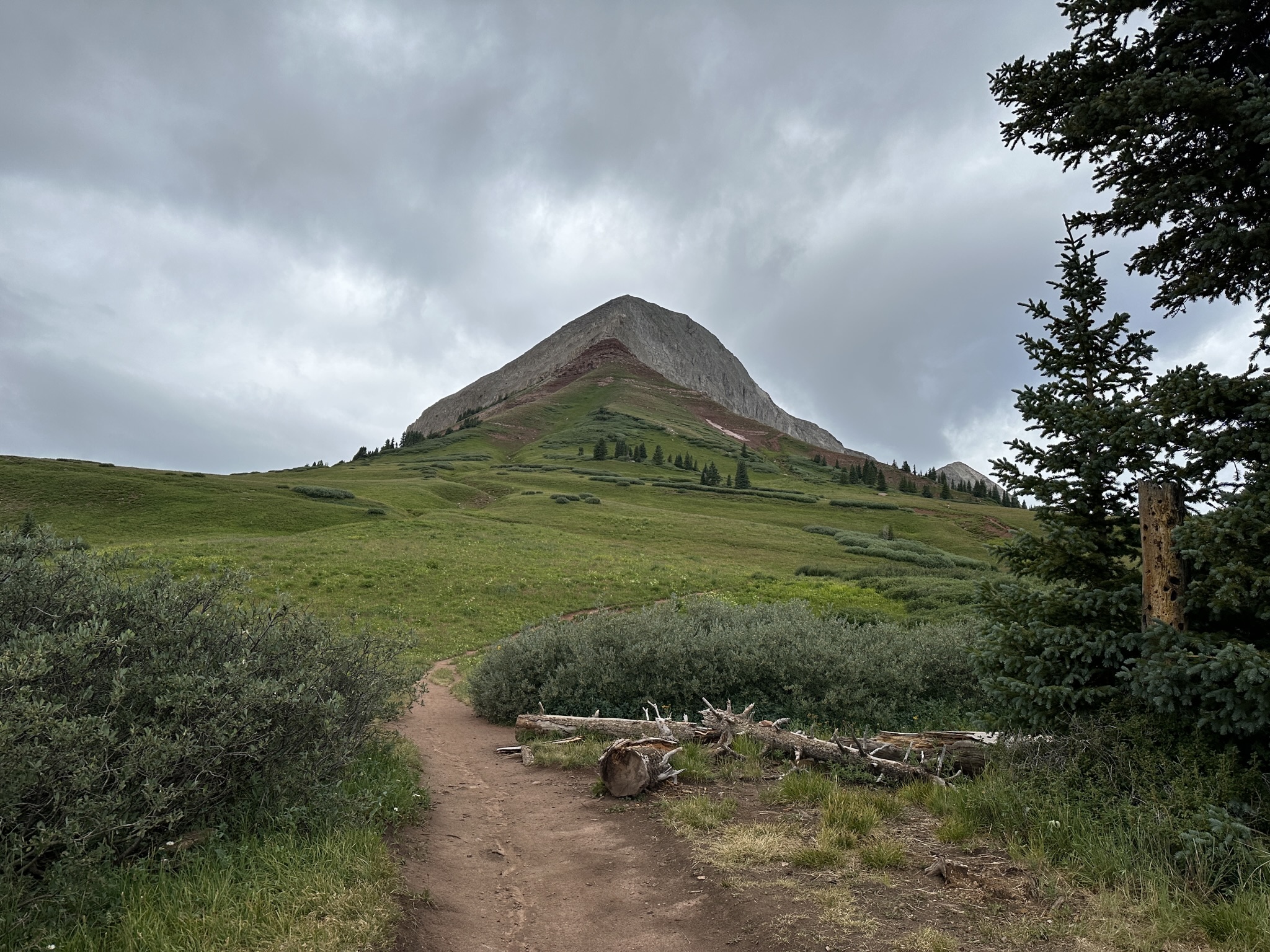
As we wound up through the woods the terrain changed from forest to alpine tundra, and the summit of Engineer Mountain came into view. At the base of the final ascent to the summit, we stopped for a snack break and weighed our options. The summit of Engineer Mountain was flanked by storm clouds, and as we ate it became shrouded in a dense, low-lying cloud and we could see heat lightened sparkling in the haze. We made the decision to continue around the loop we’d planned and skip the summit to beat the storms. This turned out to be a good call. The clouds continued to darken as they fully engulfed the peak of Engineer Mountain and began to descend down the slopes toward the plain we were traversing.


We made it back to our staged shuttle vehicle at the end of the loop just before the rain started. Showers continued into the evening and we drove into Durango for a grocery resupply to prepare for the next several days. Starting tomorrow, we will be spending the next few days driving the Alpine Loop Backcountry Byway– a 4×4 loop that connects the towns of Silverton, Ouray, and Lake City via dirt roads. We won’t be back in a proper town for a bit, so we stock up on supplies, grab a pizza on our way back, and go to bed early for another early start.
| HIKE DETAILS | Engineer Mountain via Pass Trail/Coal Creek Trail |
|---|---|
| Trailhead coordinates: | Start: 37.69918, -107.77900 End: 37.70860, -107.76989 |
| Hike length: | 6.54 mi |
| Ascent: | 1,253ft |
| Total Hike Time: | 5h 10m including breaks |
| Surface: | well traveled trail |
| Tink’s difficulty rating: | Moderate |

Leave a comment